
The River Road: Lewis and Clark Across North Dakota
Lewis and Clark spent more time in what is now North Dakota than in any other state they crossed. They wintered here in 1804 and 1805, and they left with a Hidatsa woman, Sakakawea, without whom the expedition would probably have failed.
Roosevelt arrived seventy-nine years later. There is no direct link between the two stories — and it would be easy to invent one, so we won't. What connects them is the country: the Missouri and the Little Missouri, the buttes, the same wide horizon that made both parties keep writing about it. This route follows the river west and finishes in the badlands at the Library.
About 440 miles from Bismarck to Medora, or roughly 575 as a loop back to Bismarck. Six days.
A note on the name: North Dakota officially spells it Sakakawea, and that is the spelling used for the lake and the village on this route. The National Park Service and most of the rest of the country use Sacagawea.

The North Dakota Heritage Center & State Museum in Bismarck.
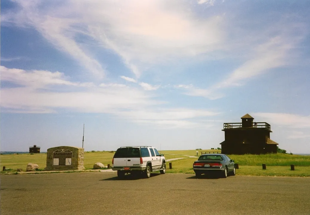
Reconstructed infantry quarters at Fort Abraham Lincoln State Park, south of Mandan.
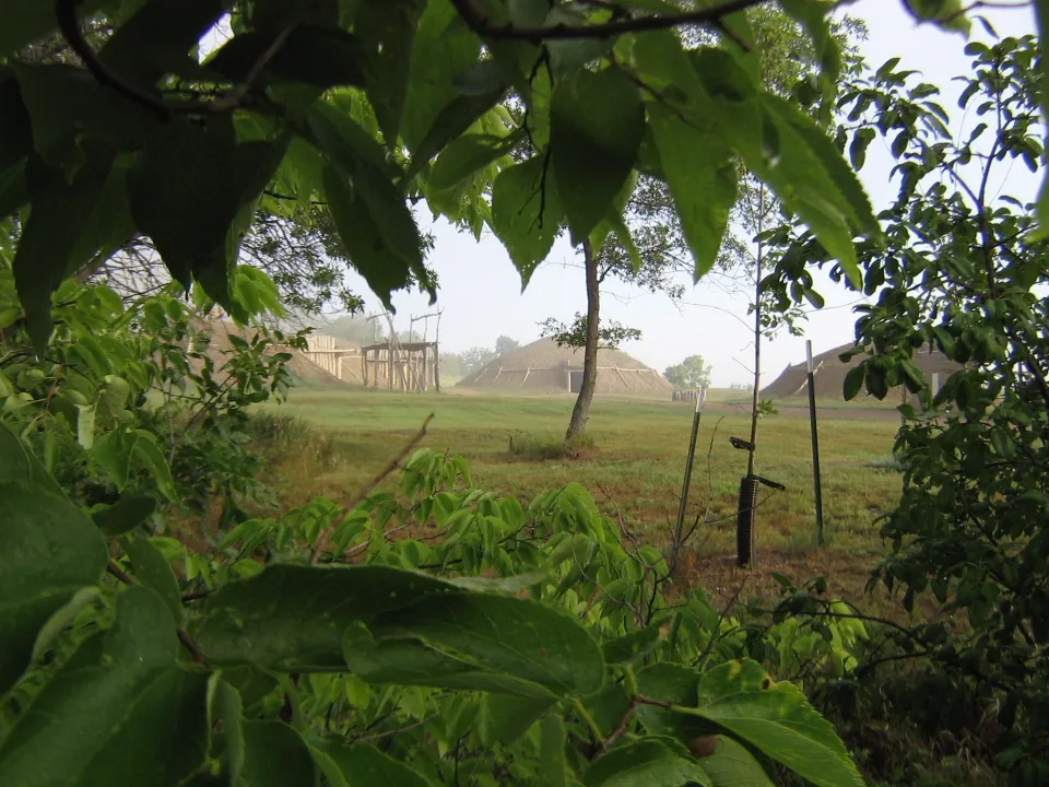
On-A-Slant Village, a Mandan town on the Missouri River, with reconstructed earthlodges.
Days one and two: Bismarck, Mandan and the winter camp
Start at the North Dakota Heritage Center and State Museum on the Capitol grounds — four galleries running from the state's geology to the present day, and admission is free. Cross the river to Fort Abraham Lincoln, the oldest state park in North Dakota, where six reconstructed earthlodges mark On-A-Slant Village. The Mandan people who built and lived in that village were struck by a smallpox epidemic in 1781; their descendants are part of the MHA Nation at Fort Berthold today. The reconstructed Custer House on the bluff above tells a much later and very different chapter, and the two are worth seeing in that order.
North to Washburn the next day for the Lewis & Clark Interpretive Center, and Fort Mandan two miles on. The fort is a full-size reconstruction, not the original — the true site is disputed and now lies under the Missouri, its location further confused when Garrison Dam changed the river in the 1950s. The expedition wintered here in 1804 and 1805, hosted by the Mandan and Hidatsa.
Day one: about 15 miles and a full day of stops · Day two: 52 miles, about an hour and ten

A reconstructed earthlodge at Knife River Indian Villages National Historic Site.
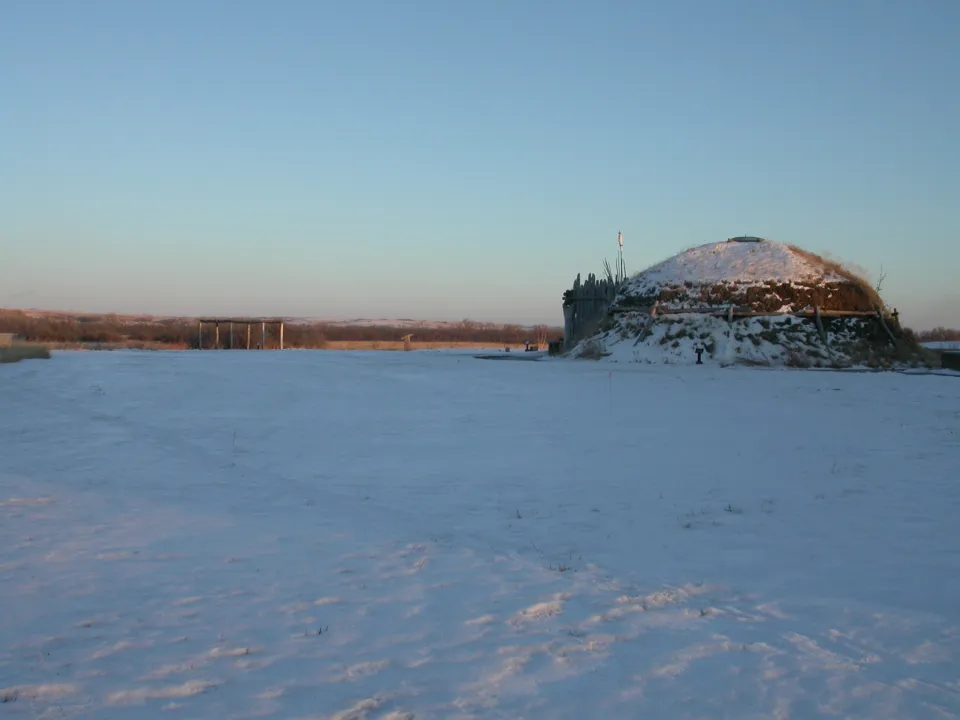
Knife River Indian Villages in winter.
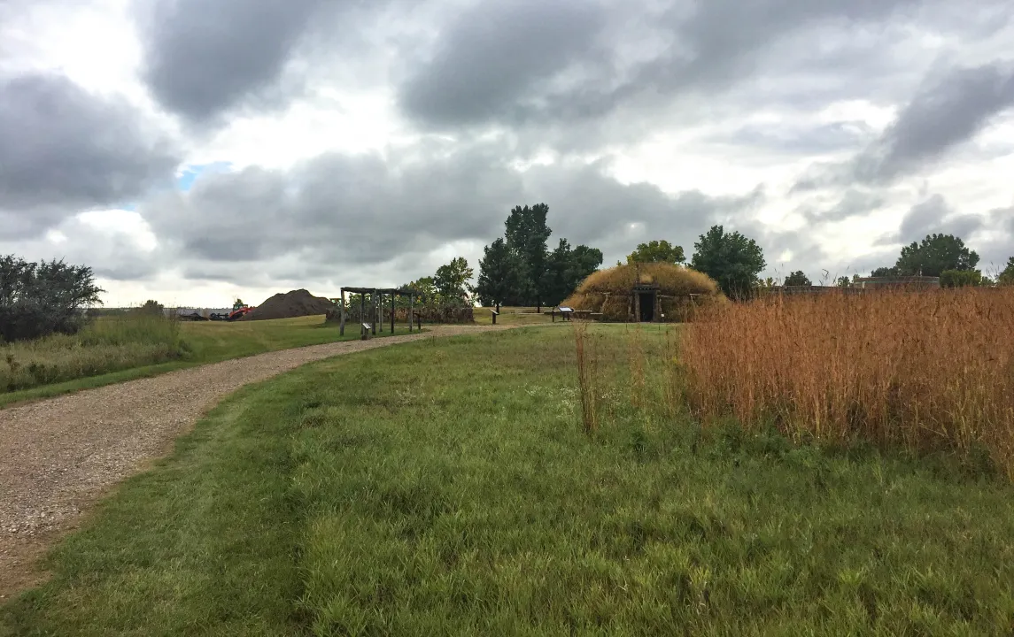
The trail through the village sites at Knife River.
Day three: Knife River, and what was here first
Knife River Indian Villages National Historic Site near Stanton is the most important stop on this route, and the one most visitors underestimate. These Hidatsa and Mandan villages were the commercial and cultural center of the northern plains for centuries before Lewis and Clark turned up — a trading hub that drew people and goods from across the continent. The expedition arrived at an established place, not an empty one.
The circular depressions across the prairie are the physical remains of earthlodges, and a full-size reconstructed lodge at the visitor center shows how they were built and lived in. Sakakawea was living at Awatixa Village, also called Sakakawea Village, when the Corps of Discovery hired her husband in 1804. She was sixteen or seventeen.
The site is free and open year-round.
Two to three hours · 24 miles from Washburn, about 30 minutes

Garrison Dam on the Missouri River, which holds back Lake Sakakawea.
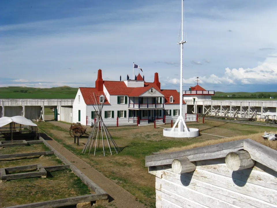
Fort Union Trading Post National Historic Site on the North Dakota–Montana line.
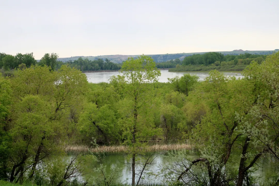
The confluence of the Missouri and Yellowstone rivers near Williston.
Days four and five: the dam, and the confluence
Garrison Dam near Riverdale was finished in 1953 and holds back Lake Sakakawea — 178 miles long, more than 1,500 miles of shoreline, the third largest reservoir in the United States. It is also the reason a great deal of this valley is underwater. The dam flooded homelands of the Mandan, Hidatsa and Arikara Nation and displaced whole communities, including the town of Elbowoods. The lake carries Sakakawea's name and covers the country her people lived in. Both things are true and the second one is not a footnote.
West from there it is a long prairie run to Williston, where the Missouri meets the Yellowstone. Fort Union Trading Post is a reconstruction of the most important fur post on the upper Missouri between 1828 and 1867. Five miles away, Fort Buford keeps genuine original buildings — the stone powder magazine, the officers' quarters, the cemetery — from the post where Sitting Bull gave himself up in 1881. One ticket covers Fort Buford and the Missouri-Yellowstone Confluence Interpretive Center.
Day four: 182 miles, about 3 hours 45 · Day five: four to five hours of stops

A grassy trail along the rim above the badlands in Theodore Roosevelt National Park.
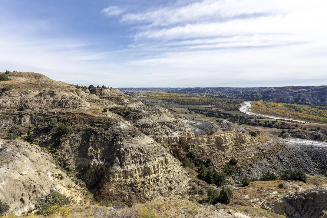
The view east from the Oxbow Overlook in the North Unit.
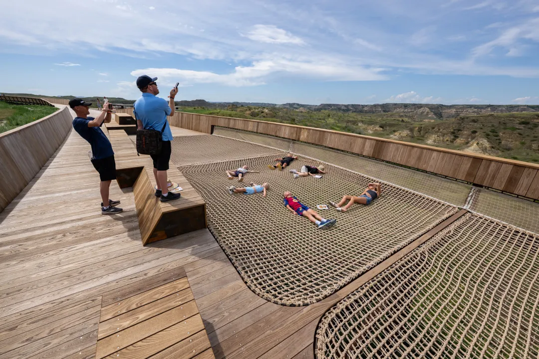
The Library's rooftop boardwalk opens onto the western landscape Roosevelt loved. (Theodore Roosevelt Presidential Library)
Day six: south into the badlands
Turn south for the North Unit of Theodore Roosevelt National Park near Watford City, where a fourteen-mile paved scenic drive runs above the Little Missouri. This is the shift the whole route has been building toward: the wide, slow Missouri gives way to buttes and coulees and a river that cut rather than spread.
Roosevelt got off the train at Medora on 8 September 1883, aged twenty-four, meaning to shoot a buffalo. He bought into two ranches instead, and after his wife and his mother died on the same day the following February he came back here to work. Finish at the Library, which is about what that country did to him.
Three to four hours in the park, plus the Library · 67 miles to the North Unit, then 68 miles to Medora