
Seattle to the Badlands: The Long Way
About 1,100 miles · 16–17 hours of driving · 10 to 12 days
Seattle to Medora is not a day’s drive, and pretending otherwise ruins the trip. Done properly it is a two-week crossing of the northern tier — rainforest to alpine to open range — ending in the country that made Theodore Roosevelt.
The Badlands are the destination. Everything before them is the approach, and the approach happens to include two of the best national parks in the United States.
Drive times are approximate and assume summer conditions. Mountain passes and park roads open and close seasonally — check before you commit to dates.

Moss and ferns on the floor of the Hoh Rain Forest.
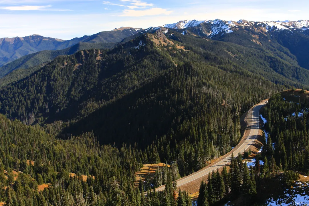
The Olympic Mountains from Hurricane Ridge.
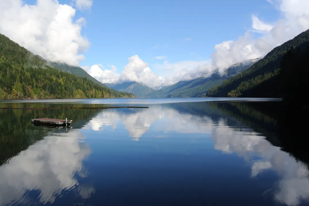
Lake Crescent on the north side of Olympic National Park.
Days 1–3: Olympic National Park
Start by going the wrong way. Olympic is west of Seattle, and it is three parks in one: a temperate rainforest, a wild Pacific coast, and a mile-high alpine ridge, all inside the same boundary.
- The Hoh Rain Forest — one of the largest temperate rainforests in the United States, and among the wettest places in the lower 48. Sitka spruce and western hemlock hung with club moss; the Hall of Mosses trail is under a mile and does the job.
- Ruby Beach and the Kalaloch coast — sea stacks, drift logs the size of telephone poles, and tide pools at low water. Check a tide table; the beach is a different place at high tide.
- Hurricane Ridge — a paved road climbs to roughly a mile above sea level with the Olympic range across the valley. Subalpine meadows and deer in summer.
- Lake Crescent on the way through — glacially carved, unusually clear and deep.
Roads to the Hoh and Hurricane Ridge have had weather and construction closures in recent years. Check the park before you drive out.

Diablo Lake and Jack Mountain from the North Cascades Highway.
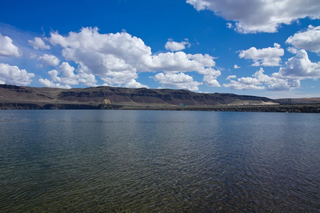
The I-90 bridge over the Columbia River at Vantage, Washington.
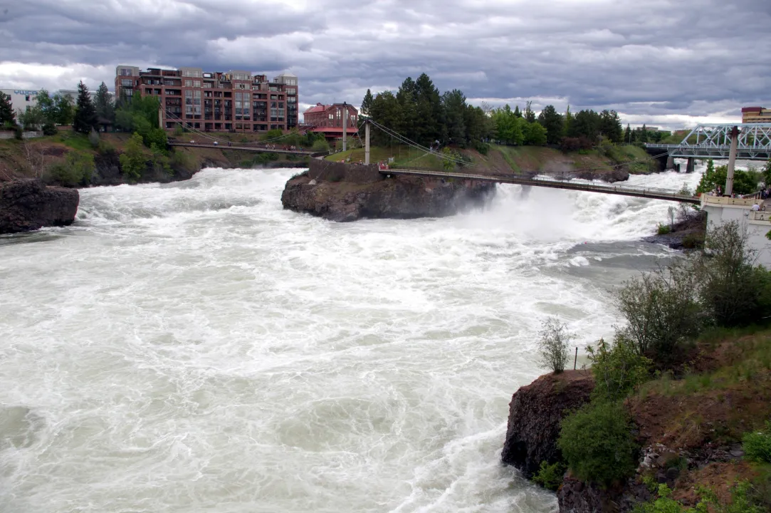
The Upper Falls of the Spokane River in downtown Spokane.
Days 4–5: east across Washington and into Montana
Back through Seattle and over the Cascades. This is the transition day — wet green to dry brown in about two hours of driving.
- Snoqualmie Pass on I-90, or the more scenic North Cascades Highway (WA-20) if you have the time and it is open. The North Cascades route closes in winter.
- The Columbia River crossing and the Palouse country beyond it — rolling wheat hills that photograph better than they sound.
- Spokane makes a natural overnight at roughly the halfway point of the day.
- Then into Montana on I-90, through Missoula and up toward the Rockies.
You are covering ground here. It is a driving day and it is fine for it to be one.

Clements Mountain above the clouds at Logan Pass, Glacier National Park.
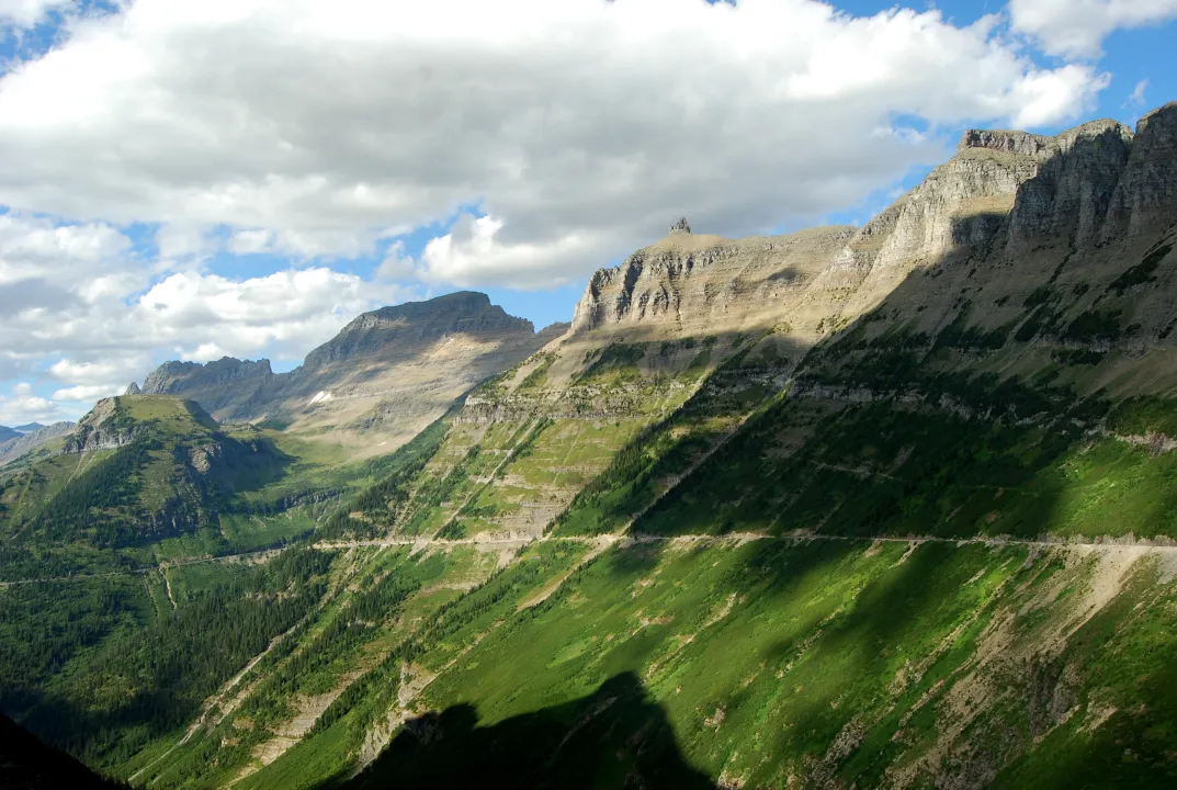
The Going-to-the-Sun Road in Glacier National Park.
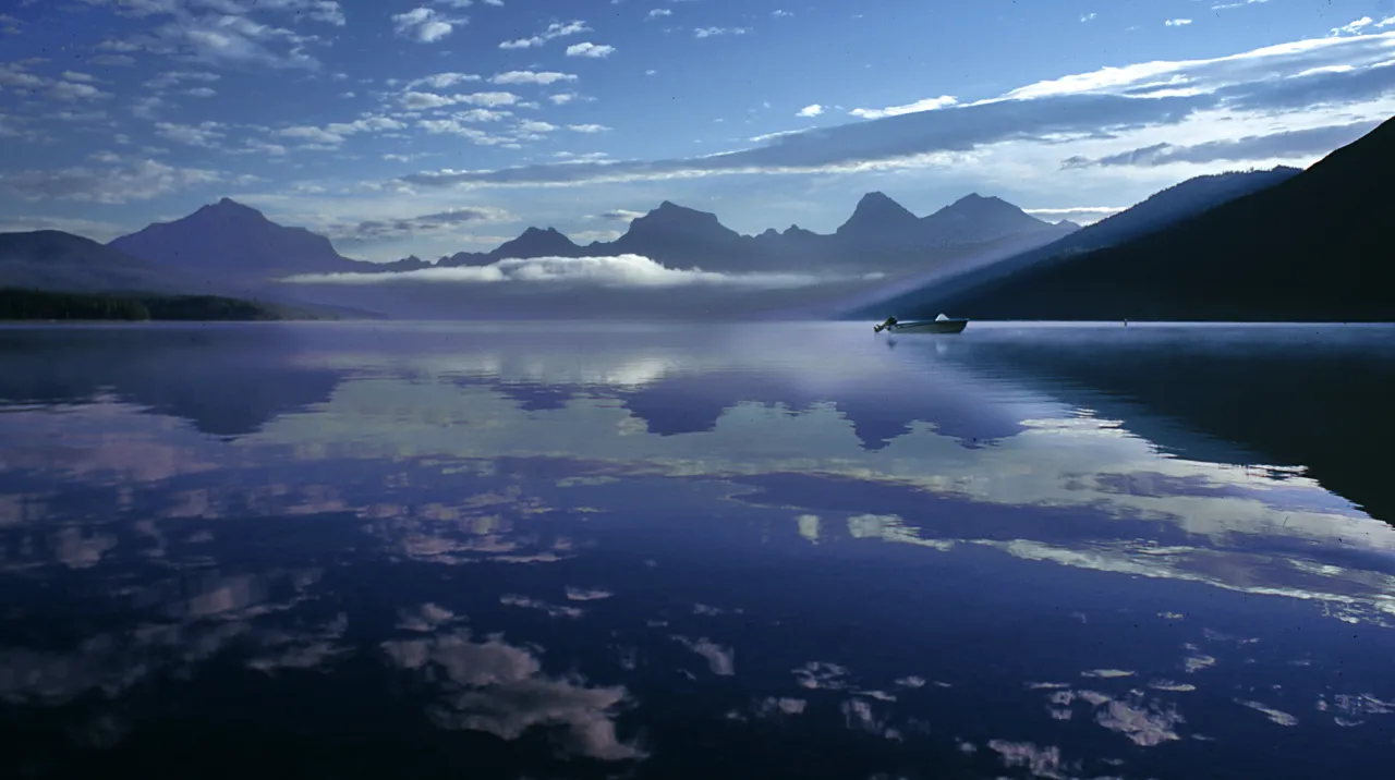
Lake McDonald at dawn, Glacier National Park.
Days 6–7: Glacier National Park
The last mountains before the plains, and the best of them.
- Going-to-the-Sun Road — 50 miles across the park over Logan Pass, cut into the side of the Garden Wall. One of the great engineering drives in the country. It opens in stages through early summer and requires a vehicle reservation in peak season — check the park well before you travel.
- Logan Pass at the top, with the Hidden Lake boardwalk and, often, mountain goats and bighorn sheep at close range.
- Many Glacier on the east side — the classic amphitheatre of peaks, and the best grizzly-viewing valley in the park. Worth the detour off the main road.
- Lake McDonald at the west entrance, with the coloured stones you can see through the water.
From the east side, it is open country all the way to North Dakota.

The trail at Painted Canyon Overlook.
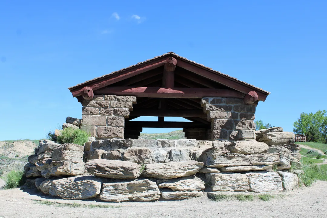
The River Bend Overlook shelter, built by the Civilian Conservation Corps in the North Unit.
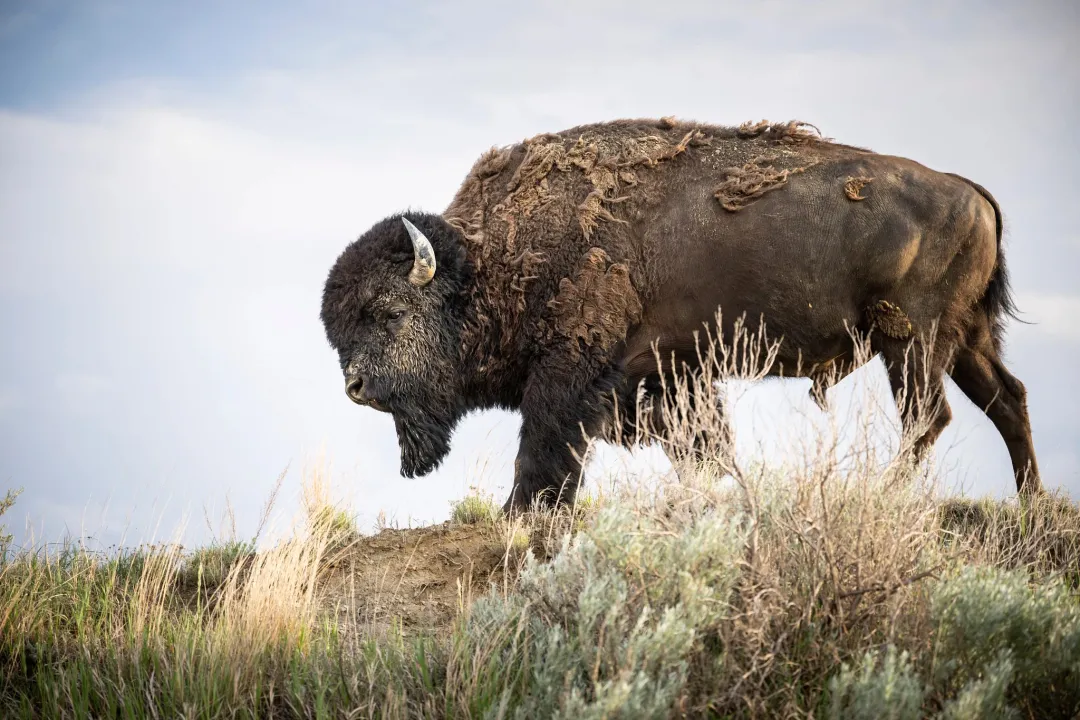
A bison stands on a grassy Badlands ridge. The park protects free-roaming bison, elk, wild horses, and prairie dogs on the range Roosevelt knew as a rancher in the 1880s. (TRPL)
Days 8–10: Medora and the Badlands
This is what you drove for.
Roosevelt came to this country in 1883 and it rebuilt him. The Theodore Roosevelt Presidential Library, above the town on the bluff, is the anchor of the stop — give it most of a day, not an hour. The galleries run from a sickly New York boy to the president who put 230 million acres under protection, and the building sits in the landscape it is about.
- Day 8 — the Library. Galleries (2–3 hours), the Boardwalk over the bluff, lunch at the Library Café. Afternoon on the South Unit scenic loop: 36 miles, about 1.5 hours with stops, for bison, prairie dog towns and wild horses.
- Day 9 — go further out. The Elkhorn Ranch site, where he built his home ranch and where nothing is left standing (half a day, gravel roads, check conditions), or the quieter North Unit ninety minutes north.
- Day 10 — Medora itself. The Chateau de Mores, the Cowboy Hall of Fame, the Maltese Cross Cabin. In summer, the Medora Musical and the Pitchfork Steak Fondue — book both ahead.
Three nights in Medora · after a week of mountains, the scale here reads differently

Devils Tower above the pine forest of northeastern Wyoming.
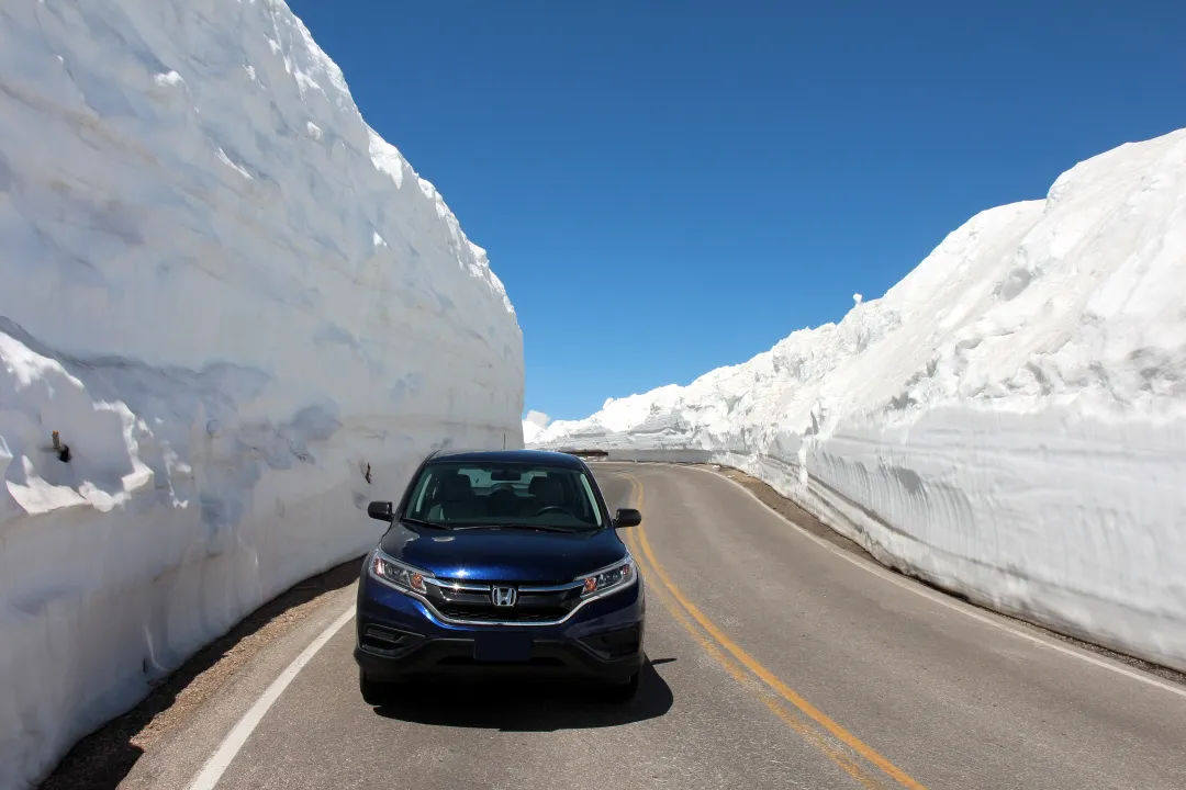
The Beartooth Highway just after the spring plowing.
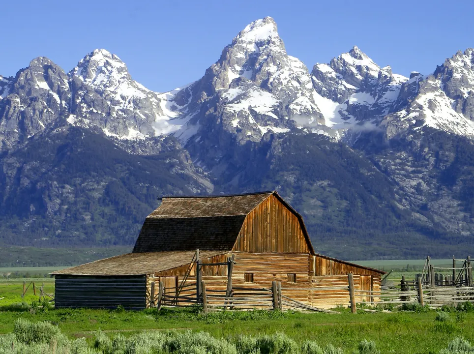
A historic barn below the Teton Range.
Days 11–12: the way home
Do not retrace your route. Go back through Wyoming and you get a second set of parks for almost no extra driving.
- Devils Tower — three hours south of Medora, and the first national monument in the country, proclaimed by Roosevelt in 1906. The Tower Trail loops the base in about an hour.
- Yellowstone — enter from the northeast over the Beartooth Highway if it is open, which is a drive worth planning around on its own.
- Grand Teton, then north and west back toward Seattle through Idaho and the Columbia basin.
That version runs closer to two weeks. The shorter way home is I-94 west to I-90 and straight across Montana — about two long days.